

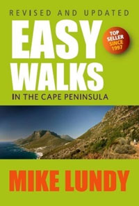
 Easy walks in the Cape Peninsula
Mike Lundy
Tafelberg Publishers
ISBN: 9780624069522
Buy Easy walks in the Cape Peninsula from kalahari.com.
I have never met Mike Lundy, yet this fascinating man has guided me on many delightful walks.
There is no better way to get to know a city than to do it on foot, and there are few better companions to the Cape Peninsula than Mike Lundy.
This, the 7th edition of Easy walks in the Cape Peninsula with its bright green cover, is not my first copy of Mike Lundy’s book, and I doubt whether it will be my last.
The fact that this is the 7th edition in 17 years tells me two things: a) the book is popular and b) it is current.
Mike Lundy’s Easy walks in the Cape Peninsula is by no means the only guide one can use. My wife and I own a few guides, but over the years this has become a firm favourite for its accuracy, accessibility and the gentle humour which filters through the pages. Lundy himself has written quite a few others.
The regular updates to these books help. Here is an example of why they are needed: The Woodstock cave on the front slope of Table Mountain is a short, steep walk of 30 minutes until you reach the entrance. Yet it no longer is that simple, since a rock fall has blocked the road leading to the start. It means adding nearly 5 km and an hour to your walk. The additional hour of walking is not a big problem, since it is flat, but one should plan for it. Even easy hikes can be dangerous if one gets caught on the mountain at night. And, says our guide on p 13, “Clearly you wish to come home at night, otherwise you wouldn’t have bought this book.”
Planning is crucial, even for easy walks, and Lundy’s guide is a great help. That is why many of his fans do purchase new editions.
Easy walks
The title says it all. This is not a book for the trail runner wishing to train for endurance sport; it really is aimed at people who want to get out without having to endure strenuous exercise. Yet it is by no means a lounge lizard’s guide to pub crawls; on some of these walks one can build up a sweat.
The shortest walk is the 1 km (out and back) Cat Walk, which “has benches along the way to rest and enjoy the views”.
Although one could possibly go further in Orangekloof, if you beg your guide to allow you to, the longest walk in this book is the 10 km long Pipe Track which will take you three hours return.
This is how Lundy describes the Pipe Track: “It is a pleasant stroll, mostly along the level, offering wonderful views of the Atlantic Coastline and the Twelve Apostles.”
Typically, Lundy makes it as easy as possible. Of the same route he says: “In summertime it is suggested that you start early in the morning, when most of the walk is still in the shade.”
Or do you want walk to Maclear’s Beacon on top of Table Mountain? Take the cable car and start from there. Then you have a 5,3 km relatively flat, circular route ahead of you. Lundy suggests it would take 1 hour and 45 minutes.
Or how about Echo Valley? It is a spectacular route on top of Table Mountain. After riding up in the cable car (as suggested by Lundy) you will see incredible fynbos and grasslands. The route is 4 km long and will take you two hours to walk, according to the guide. When I had the Dutch author Benny Lindelauf in Cape Town, this was the walk we did. Benny fell ill shortly before his visit to South Africa and he had warned me that he was not as fit as he’d like to be. Yet he was keen to see some of South Africa’s natural splendour. I chose Echo Valley, which meant that he got to ride in the cable car and he was able to experience the spectacular beauty of the mountain.
What is more, these routes lead one away from the main tourist highways.
An eye for detail
For each of the walks there is a key which tells you where in the Peninsula it starts, how many kilometres long the walk is, how long it will take you and whether or not dogs are allowed.
Then there are detailed descriptions to get one to the destination. Here is how one gets to the start of the Elsies Peak walk near Fish Hoek: “Leave the Glencairn Main Road at the turn-off to Kommetjie (M6). After 200 m turn right into Birkenhead. Proceed up the hill and left into Clan Stewart Street. After some 800 m along Clan Stewart, turn right into Golconda …”
Such detail is extremely useful, but it also makes for some hilarity when my wife decides to play GPS when I am driving: “In 800 m, turn right. Turn right now! Turn right now! Proceed up the hill ...”
Priceless.
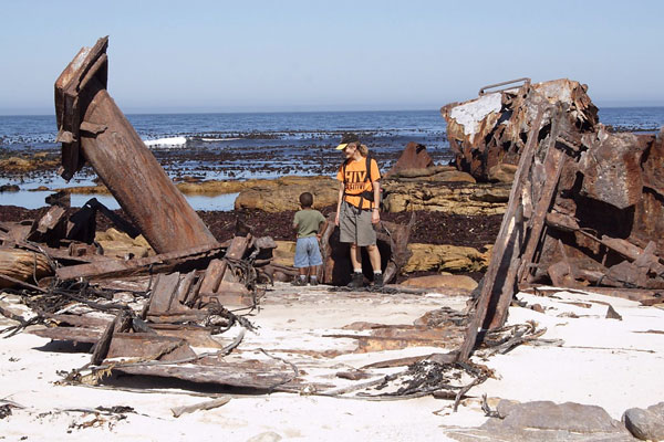
Here is one last example of the care Lundy takes to get you to the right path; this time it is to the start of the Shipwreck Trail in the Cape Point Nature reserve: “Pay your entrance fee at the gates of the Cape of Good Hope section of the TMNP [Table Mountain National Park – IdV]. From the entrance, drive 1,9 km to the first turn on the right, marked ‘Olifantsbos’. Take the road to Olifantsbos, noting that the speed limit is 40 km/h. Exactly 10,6 km down this road will bring you to a parking area on the right, just before a boom across the road. This is Olifantsbos, and the beginning of two trails. Yours is clearly marked ‘Thomas T Tucker Shipwreck Trail’. The other one (Sirkelsvlei Trail) begins 150 m from the parking area, and is a long and lonely walk in the wilderness …”
Selecting one’s walk
There are 52 walks in the book.
My wife and I are keen walkers and she regularly needs “green therapy”. I willingly oblige.
Our approach normally is to look at time available. We then take into account how far we want to walk, and long how we can be away from home. She is a medical doctor and there are times when she has to be able to get to the hospital in an emergency. We won’t drive to Cape Point if she is on call, but Newlands Forest or even Cecilia Forest is close enough to the main highway so that in the event of an emergency she would be able to rush back to help. The regional layout of the book makes it very easy to decide.
The next question is: Do we tag friends along, or do we want to walk on our own? If we tag friends along, how fit are they? Showing them Mike Lundy’s book helps.
Since the descriptions are so vivid and each walk is accompanied by a map, even friends who know very little about the outdoors can become part of the planning.
Do we want to take the dogs along? They love the outdoors as much as we do, so if possible, we do take them. The book is great in telling us where they are allowed, or not. (It should be noted that one should technically have a permit to walk dogs in the greater Table Mountain National Park, although most dog owners do not know that. Permits can be bought at the lower gate of Kirstenbosch, although dogs are not allowed in Kirstenbosch. Bureaucrats are interesting people. See p 16 for a telephone number.)
So, to choose a walk, we sift through the region (how long do we need to get there?), duration (how long are we willing to walk?) and level of difficulty (how fit are our friends?). After that it normally does not take long to make up our minds.
Lundy even includes options like “wheel-chair friendly” in his descriptions. I love that. Oddly enough, though, I would like to warn that one may want to make sure of any walk before taking a friend on a wheelchair. I ran the Liesbeek River Trail this morning and I would suggest that the first half would pose challenges for a wheelchair. The worst challenge may be temporary, since it is a large tree that has split and is now covering the way. The branch is dead and the path up the embankment shows that many others have had to circumnavigate this obstruction for a while already, but even without that broken tree I would hesitate to tag a wheelchair-bound friend along the unpaved sections. The formally laid-out pathway starts next to Belmont Road and from there on, oh yes, let wheels ride!
I am not suggesting Lundy is wrong, but the chair rider would need a sense of adventure and a strong, able-bodied person on hand for the first half. The second half is fantastic. Also on the boardwalk around the Silvermine Reservoir, yes, absolutely, take your wheelchair-bound friends along, as Lundy suggests. (Izak’s tip of the day: Check out the walk beforehand if you are able-bodied. You will know what you and your friends are capable of.)
Points of interest
Mike Lundy is a trove if information. He shares it with the reader in a matter-of-fact manner, filled with humour. On p 16 he tells of a female wasp “that can produce progeny without mating. This is a somewhat distressing concept for us mere males.”
On pp 78–9 we learn about the blister bush, which is “phototoxic” – it means that the sap of the plant will not hurt you, unless your skin is also exposed to ultraviolet light.
Read it, it is fascinating.
For every walk there is at least one point of interest and Lundy drops gems of information into the narrative – such as regarding the odd, yet award-winning, architecture of the entrance gate to the Cape of Good Hope section of the Table Mountain National Park (p 181) He then says: “Fortunately the entrance to the park is no reflection of what lies beyond.”
Take the book along with you on your hikes. Not only will you need it when you get stuck, it will also amuse you with all the fascinating bits of wisdom that Lundy will hand out along the way.
Other bits of information
The book starts with tips on what to wear on your walks (p 13) and it contains 11 very important, life-saving tips that everyone should always remember when going into nature (p 17).
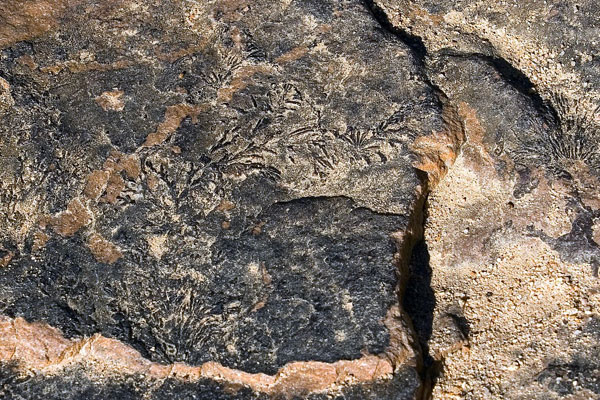
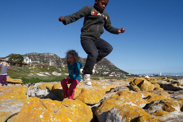
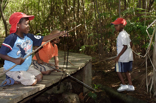
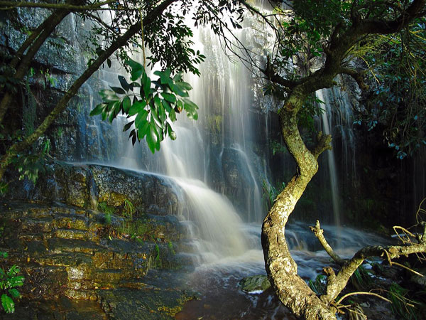
This version of the book also contains full-colour pictures, taken by Bruce Stevens. Tafelberg Publishers chose to print them on the same ordinary paper to keep the weight and cost down, so the colours may not be as vivid as one would see in glossy coffee table book, but this is a guide book, after all, and the photographs are wonderful to motivate you to go out and snap your own.
Conclusion
As mentioned earlier, there are many guide books and many other ways to explore our environment. Do check them out, but few are as easy to use, informative and up to date as Mike Lundy’s Easy walks in the Cape Peninsula. I have made use of Lundy’s guidance for more than a decade and will continue do so.
I am a Luddite and have always used the paperback version, but the book is also available as an e-book. For the Digital Natives among us, it could be something worth carrying on your cell phone.
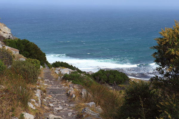
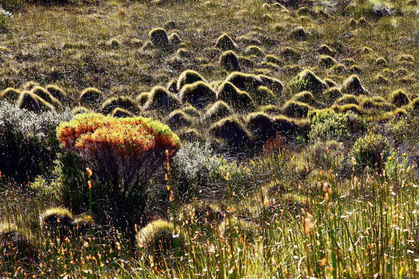
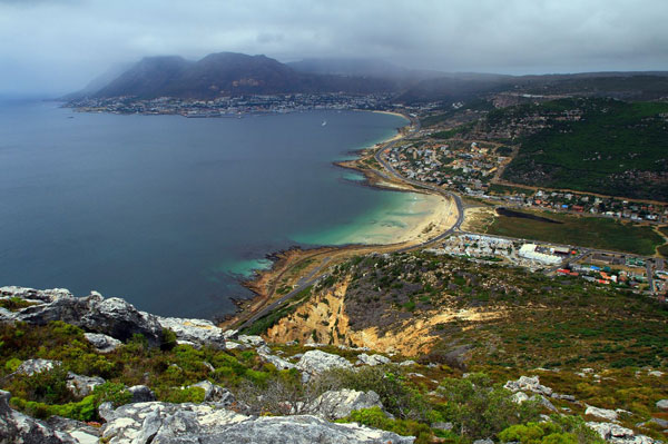

Photos: Izak de Vries